Uganda, in collaboration with the Egyptian Space Agency and five other African countries, is developing the African Development Satellite (AfDev-Sat) to support climate change monitoring and capacity building, Daily Star has learned.
The revelation was made by Dr. Cosmas Mwikirize, Superintendent of Industrial Value Chains Development at the Science, Technology and Innovation Secretariat, during the launch of Science Week. The event is scheduled to take place from Sunday, June 15 to Friday, June 20 at Kololo Independence Grounds.
Held under the theme “Made in Uganda: From Innovation to Market,” Science Week will feature over 500 exhibitors showcasing innovations, while also offering the public an opportunity to purchase a wide range of locally developed products.
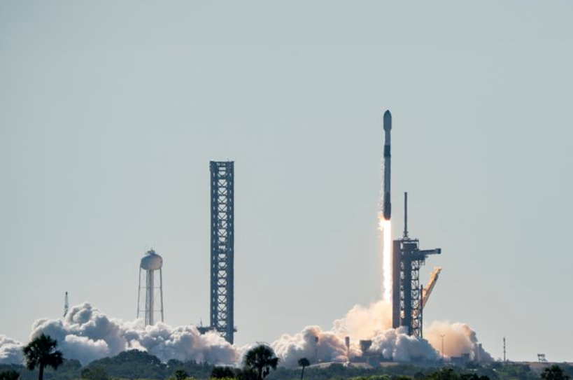
Uganda’s space journey began with three engineering students sent to Japan, where they developed a small satellite known as the 1UQ satellite measuring just 10 centimeters by 10 centimeters.
“For all intents and purposes, that was a learning experience. We did not spend any additional resources on developing that satellite. It was launched successfully, though it had a very short lifespan,” Dr. Mwikirize explained.
Despite its short operational period, the satellite fulfilled its mission: to develop Uganda’s capacity in aerospace engineering and instill national pride in building and launching a satellite.
“It’s important to appreciate the full scope of our Aerospace Program not just satellites. If you don’t have eyes in space, it’s like someone else always having eyes in your bedroom, while you don’t.” he said.
Uganda’s aerospace program focuses on three key areas which include; Building space assets such as satellites, drones, and helicopters; developing the necessary ground infrastructure and training skilled human capital.
“Developing a satellite is difficult and expensive, which is why we partnered with other African countries. Uganda is working under the leadership of the Egyptian Space Agency alongside Ghana, Kenya, Nigeria, and Sudan,” he noted.

“Our engineers who also trained in Egypt have developed a computer for the satellite. We are already integrating its components and hope to launch it by the end of this year or early 2026.”
Dr. Mwikirize also pointed out the practical benefits of satellite data, particularly for weather forecasting: “When you receive a message on your phone about the weather, and it rains the next day, that’s the capability we are working toward.”
He stressed the importance of building ground infrastructure to receive and analyze satellite data noting that when you deploy assets in space, you need ground systems to collect the data whether from your own satellite or others, depending on your capacity and the frequency bands you can support.
Though Uganda began with limited capability, the country has significantly expanded its infrastructure and collaborations, now enabling it to connect with any satellite on Earth.
Once data is collected, Uganda plans to develop applications for a wide range of sectors including weather monitoring, drought prediction, national security, infrastructure assessment, vegetation mapping, and climate finance verification.
“We are making steady progress. We have built critical human capital, and this is an area we are actively investing in.” Dr. Mwikirize said.